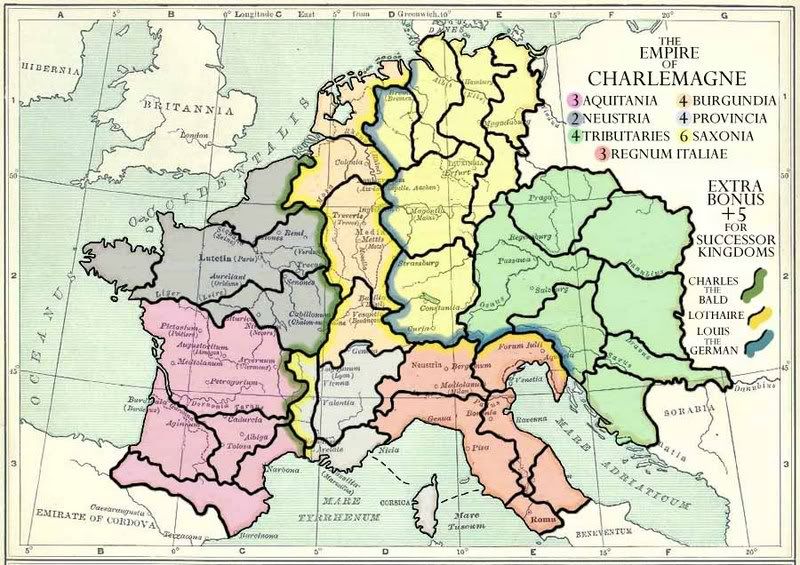
[Abandoned] - Map of Charlemagne's Empire
Number of countries = 31
Been looking through the other maps on the site and in development, and I thought a map of Charlemagne's Empire would be fun to play around with.
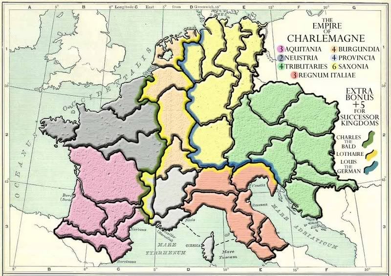
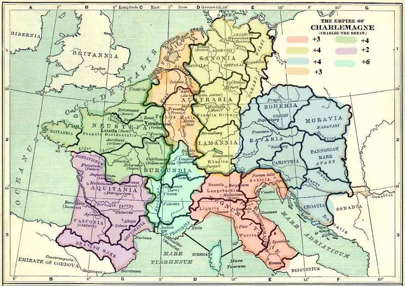
Bear in mind this is only a very quick mock up (although I would like to use the base map for the final version) and the colours, borders, continents and bonuses are only tentative ideas. Obviously the territories and continents will be named and everything else re-done smartly.
There are several countries which could be merged or split, depending on whether more or less terretories are needed. I realise 31 is probably not that good a number. What would be ideal?
Another idea would be to merge yellow and orange continents and make the bonus 7. What do you think of that?
Do any areas need impassable or one way borders?
Finally, upon Charlemagne's death his empire was split three ways (roughly along the lines of green+purple continents inherited by Charles the Bald/ orange, light blue + red was Kingdom of Lothaire/ yellow + dark blue were inherited by Louis the German) and these formed the rough areas of modern day france and germany. I was considering maybe a bonus for holding the grouped continents?